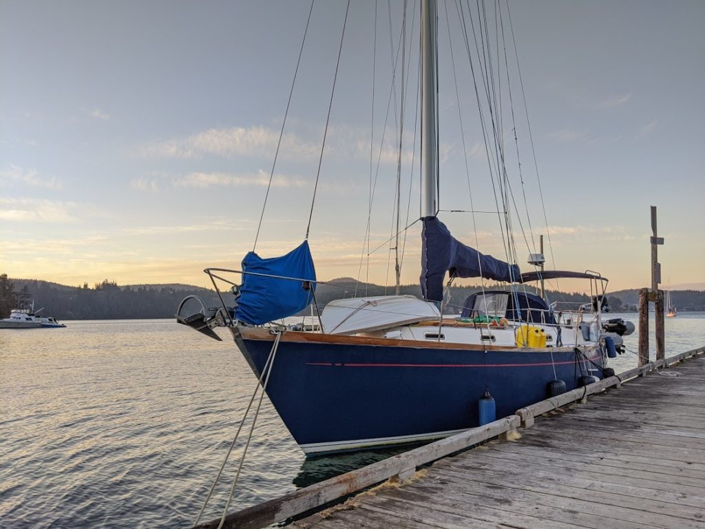
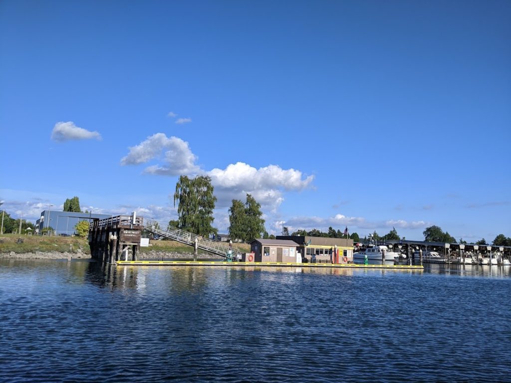
After a week hanging out in Blind Bay at Shaw Island, we moved to Anacortes for the night in preparation for heading down to the Deception Pass area for the weekend. We’ve got friends coming up to the area for several days of camping and we’re excited to get to visit them.
We anchored Friday night at Anacortes and moved into one of their transient 4-hour slips in the morning for a nasty boat project and a chance for good provisioning, laundry, and showers. By the time we were out of there, the current had turned and we didn’t want to go out and around to have to come through Deception Pass from the west. So instead, we decided to take Mosaic down the Swinomish Channel.
Here’s a little Wikipedia knowledge on the Swinomish Channel:
The Swinomish Channel is an 11-mile (18 km) long salt-water channel in Washington State which connects Skagit Bay to the south, and Padilla Bay to the north, separating Fidalgo Island from mainland Skagit County. The Swinomish Channel is the smallest of the three entrances to Puget Sound—the other two being Deception Pass and Admiralty Inlet.
The Swinomish Channel is partly natural and partly dredged. Before being dredged, it was a collection of shallow tidal sloughs, salt marshes, and mudflats known as Swinomish Slough. The United States Army Corps of Engineers used dredging and diking to create a navigable channel, completed in 1937 during the Great Depression.
The channel is heavily used by fishing boats, tugs, recreational craft, and shallow-draft freight vessels.
To maintain navigable depths, the Swinomish Channel must be dredged at least every three years. Dedicated federal funding for continued dredging was eliminated in the 1990s. A study in 2004–2008 determined that sedimentation would render the channel’s north end impassable for virtually all vessels by 2015, and its south end by 2019. The channel was dredged again in 2008. In 2012 the Army Corps of Engineers received funding from Congress for another dredging project, which was finished in January 2013. The channel was most recently dredged in 2018.
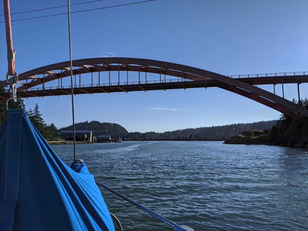
Coming from the North, we first passed through the open railroad swing bridge and then under the first bridge which is the main car bridge across to Fidalgo Island from the mainland.
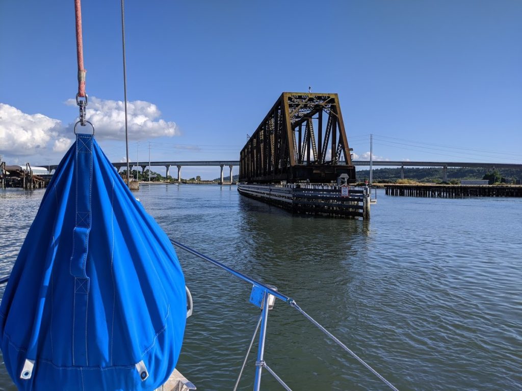
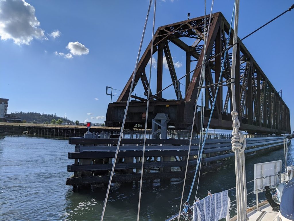
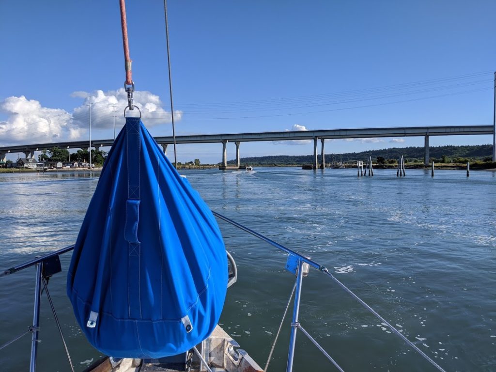
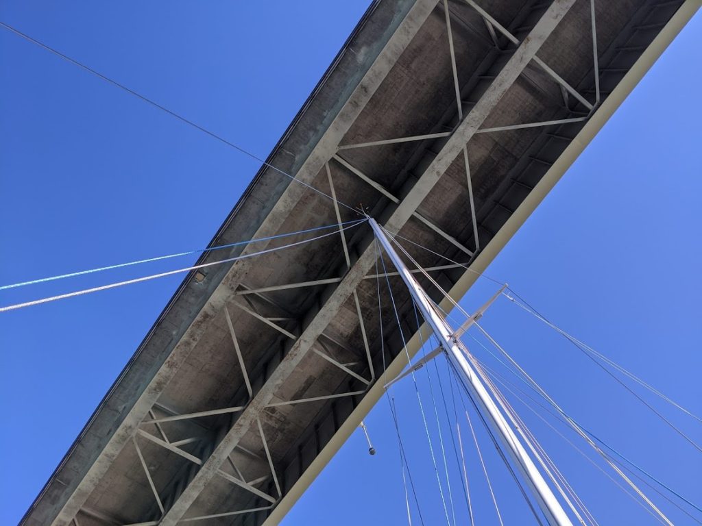
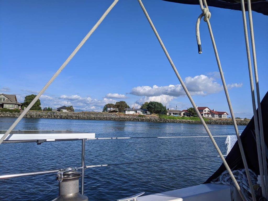
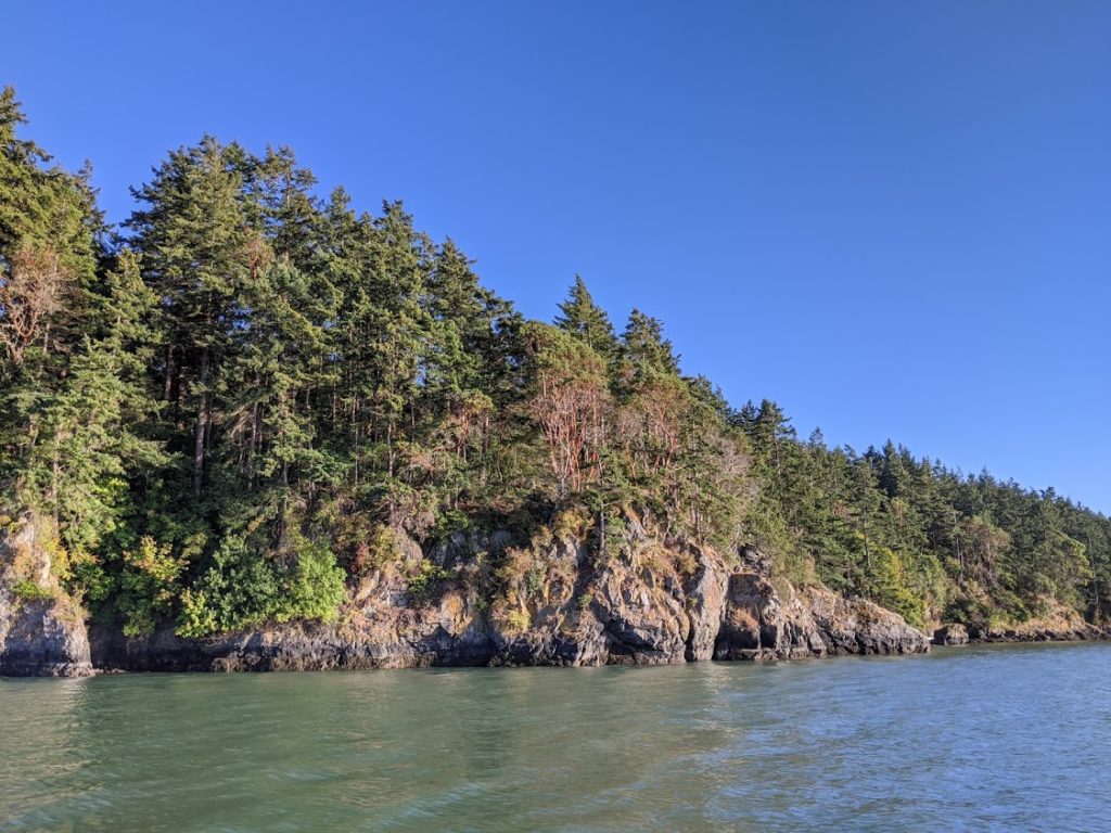
Once under the first bridge (with a listed height of 75 feet off the water and power lines just north of it listed at 72 feet off the water), we enjoyed a lovely journey down the narrow channel. The scenery in there is gorgeous and the houses lining the sides of the slough keep your interest.
Cruising by the Charming Town of La Conner on the Swinomish Channel
Soon, we came upon the lovely town of La Conner. There’s a marina, fuel dock, pump out, and several public docks where boats can tie up and enjoy some time exploring the lovely town and waterfront area. On any other day, we definitely would have liked to have stopped to check it out.
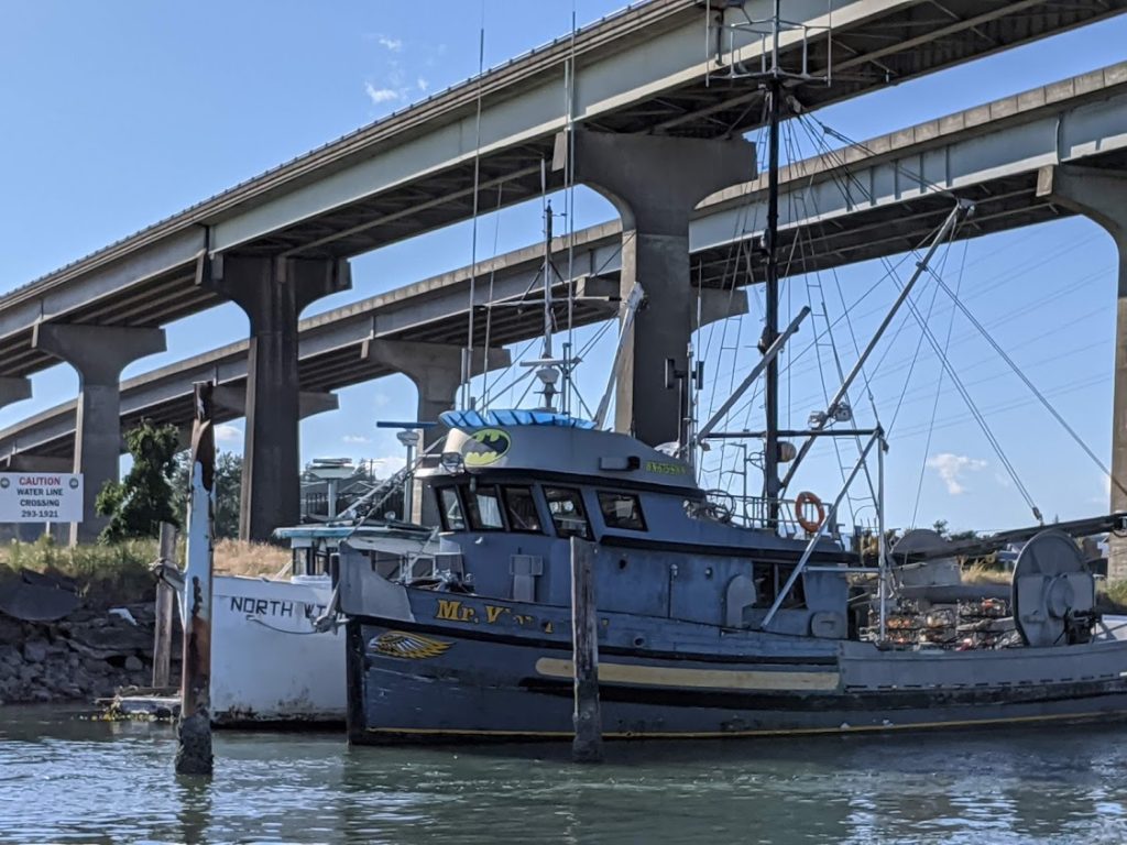
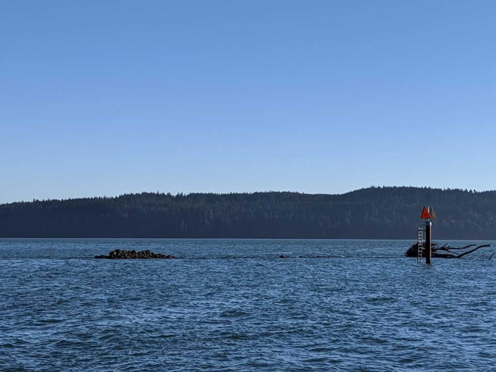
And soon we came upon the final bridge to pass under. This one is also listed as a clearance of 75 feet. After the bridge, we soon passed out the southern end of the Swinomish Channel at a small place called Hole in the Wall. The landscape here is dramatic and gorgeous, but don’t let your eyes wander too much. You’ll need to keep tight to the marked channel for quite a ways. To stray would be very unfortunate. There was a clear line of rocks on the other side of the red markers, just at the waterline. It was truly a terrifying sight for a boater…
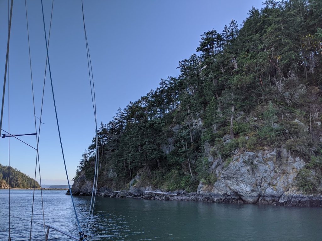
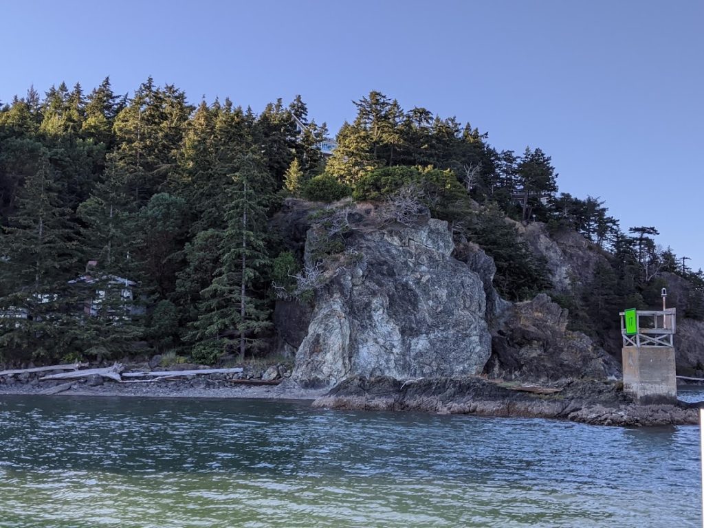
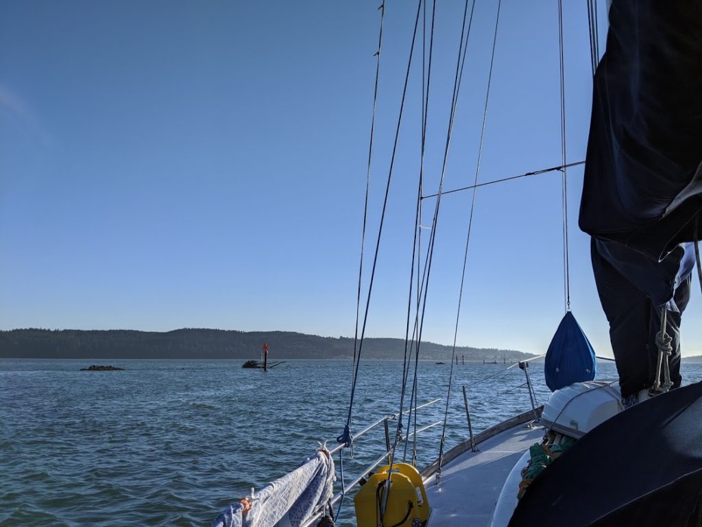
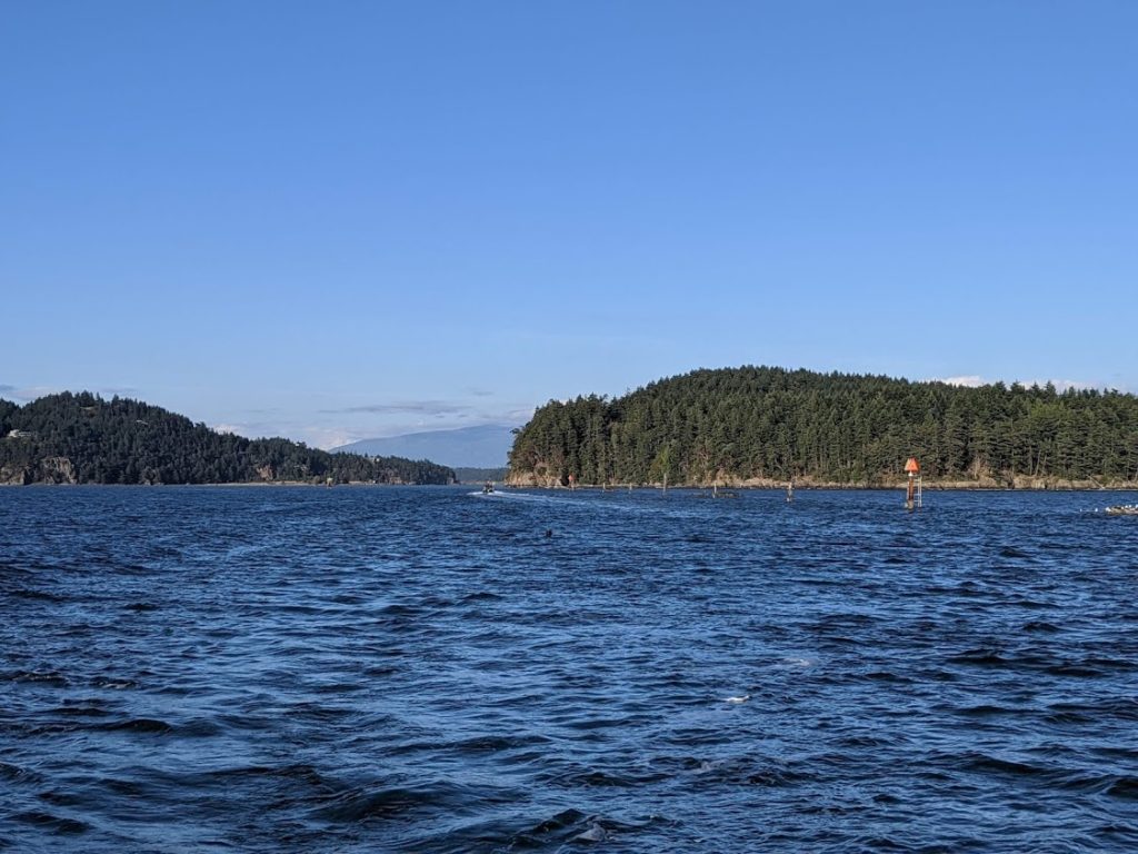
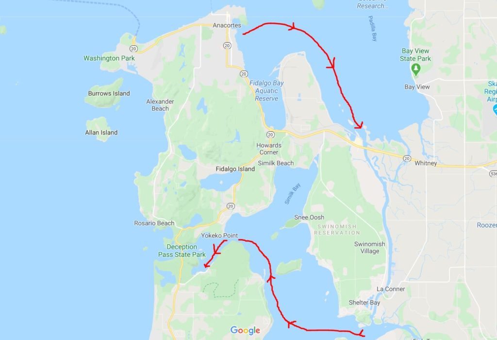
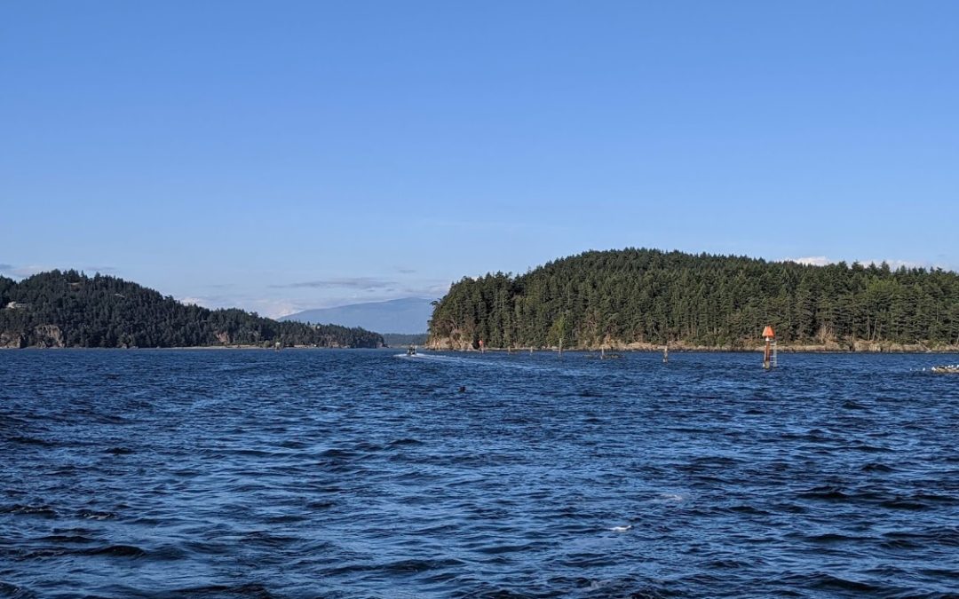
From the southern end of the Swinomish Channel, we headed northwest toward Deception Pass. We passed Goat Island, Hope Island, Skagit Island, and were happy to find a spot on the state park dock inside Cornet Bay. We’ll stay here for three nights and visit with our friends before heading back up to the San Juans – likely through the infamous Deception Pass.